


18.1 km | 34 km-effort

User


FREE GPS app for hiking
 SityTrail
IGN / Geographical institutes
SityTrail World
The world is yours!
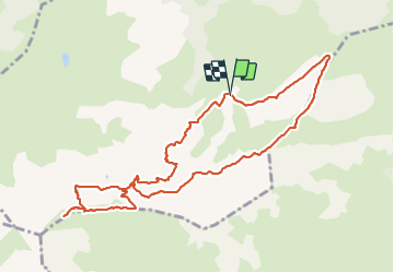
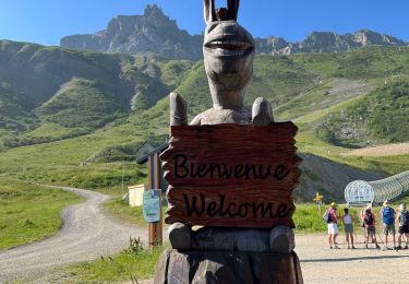
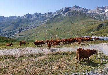
Trail Walking of 10.9 km to be discovered at Auvergne-Rhône-Alpes, Savoy, Les Avanchers-Valmorel. This trail is proposed by dautriche.
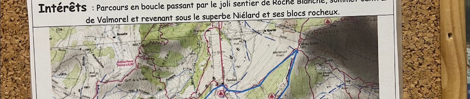
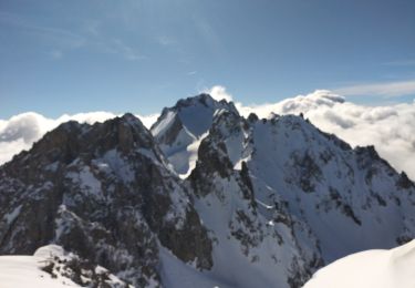
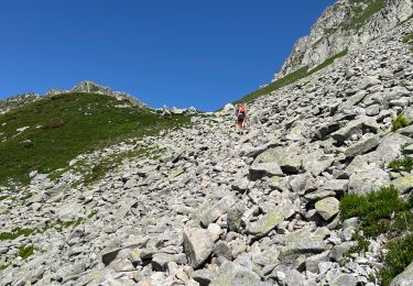
Parcours en boucle par le joli sentier de la Roche Blanche, sommet central de Valmorel et revenant sous le superbe Niélard et ses blocs rocheux.


23 photos in total. Please click on a photo to see them all in the gallery.
Walking
Touring skiing
Touring skiing
Walking
Walking
Snowshoes
Walking
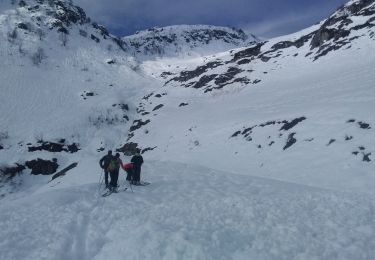
Touring skiing

Touring skiing